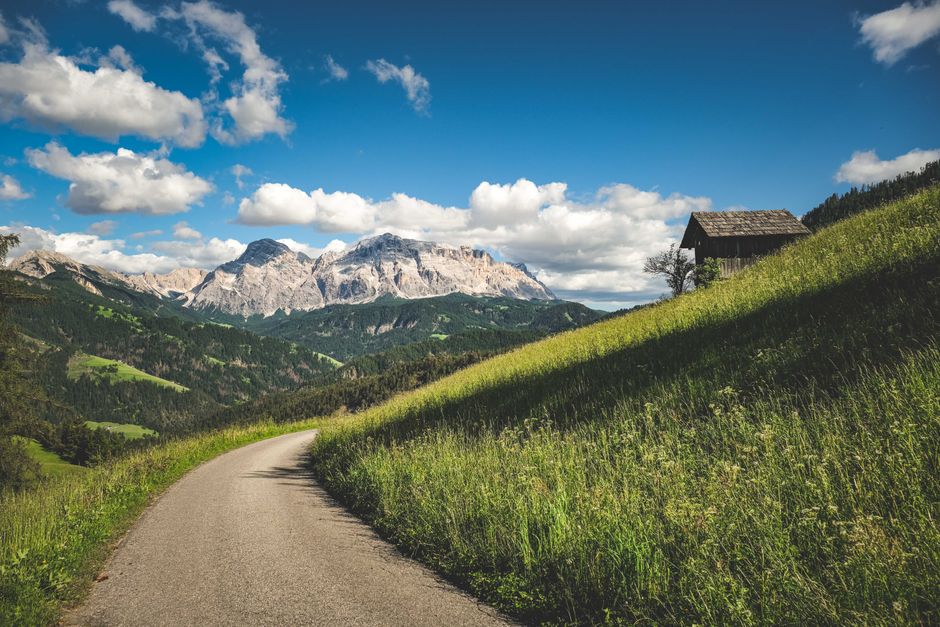
The walk to Coburger Hütte can cover 11.2 kilometres, take about 5 hours and 40 minutes, and climb 850 metres. A traveller who planned only for a scenic meadow stroll may reach the first steep section already short of water and time. That is the central problem with hiking in the Austrian Tyrol in July: green slopes and open huts create an inviting picture, but the same route can include exposed ground, fast weather changes, and a late return. No state law is being analyzed here; the relevant rules are Austrian mountain-access, land-use, and hut policies. This is not legal advice — consult a licensed attorney.
Why alpine meadows can beat high summits in July
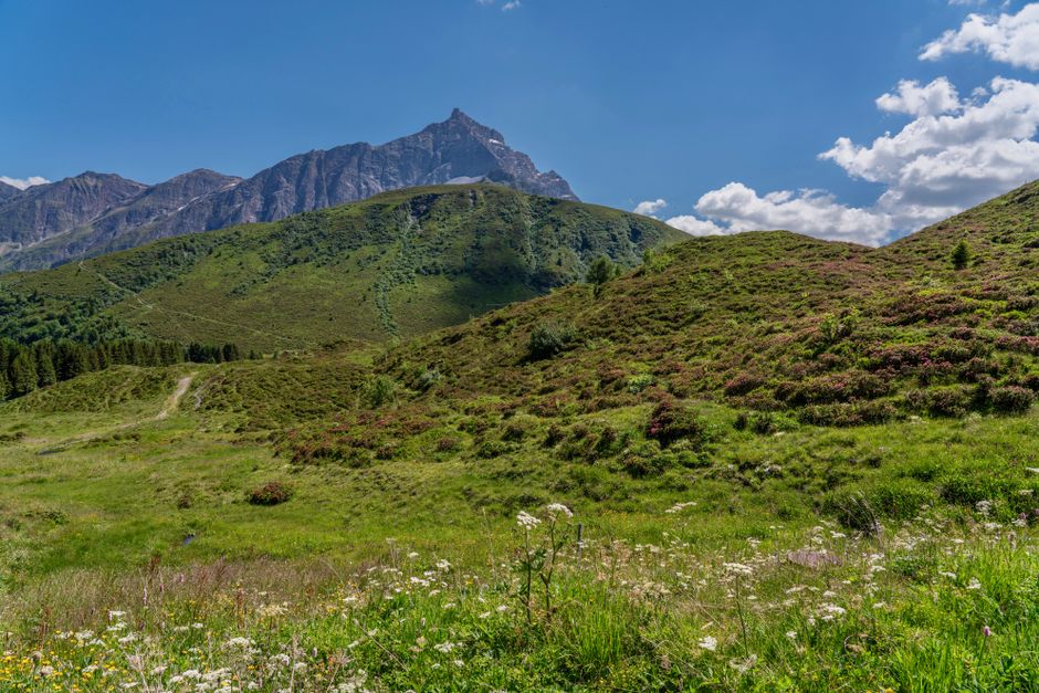
Choose the meadow when the goal is the landscape, not the highest point. July usually offers rich grass, flowering slopes, cooler air than the valley, and more dependable access to staffed huts on established paths. A summit route adds risk without always adding a better view: cloud can hide the peak, old snow can cover a traverse, and a storm can turn an exposed ridge into a poor place to wait. The official Tyrol guidance advises hikers to stay on marked paths, carry rain and cold protection, and adjust plans to weather and fitness. That makes the meadow a sounder choice for a first day, a mixed-ability group, or anyone travelling on a fixed schedule.
When a meadow route is the better decision
Select the lower route if the forecast includes afternoon thunderstorms, if the trail report mentions snow patches, or if the group has not tested its pace on a long climb. Lower elevation also gives you more options for a short walk, a bus connection, or an early return to the village.
When a higher route earns its place
Move higher only after checking the current trail report and confirming that the route has no exposed snowfield, unstable crossing, or closed hut. The reward should be a specific feature such as a lake, pass, or panoramic ridge, not the vague idea of going as high as possible.
How to plan a July hiking day around weather
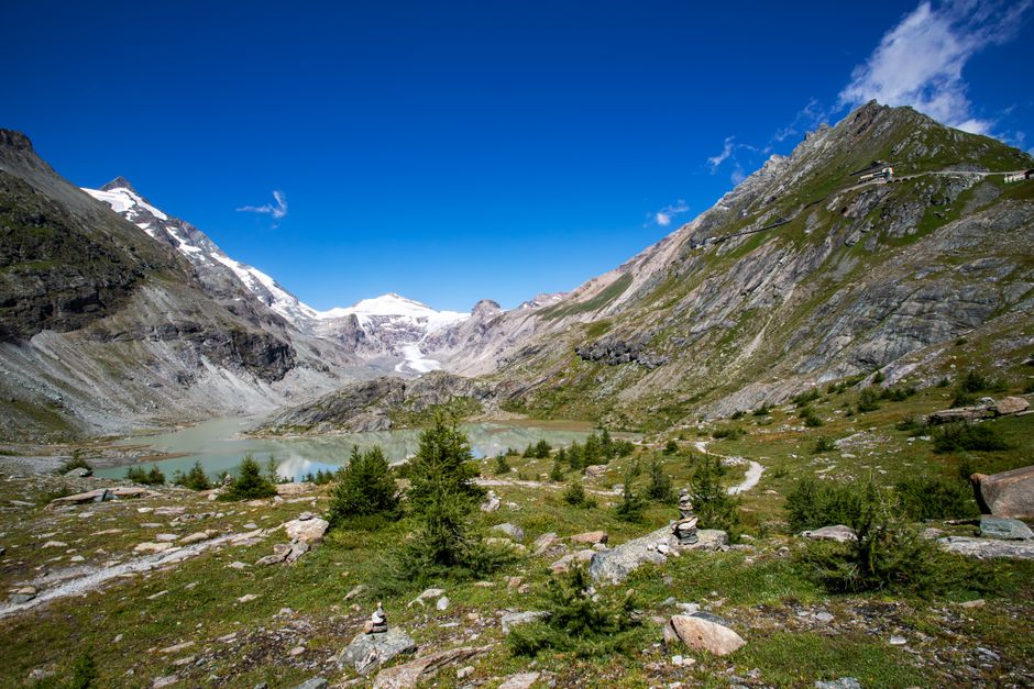
Mountain weather is a scheduling problem, not a minor inconvenience. The safest plan places the hardest climbing in the morning and leaves time to descend before the usual afternoon build-up. A blue-sky forecast in the valley does not prove that a high ridge will remain clear.
- Check two forecasts. Compare the valley forecast with the forecast for the route’s highest point. Record wind, freezing level, rain timing, and thunderstorm risk.
- Set a departure time. For a route gaining 700–900 metres, leave early enough to reach the main objective before midday. Add at least 25 percent to the published walking time for photographs, breaks, and slower members.
- Set a turnaround time. Choose a fixed time before departure. If the group is below the key pass or hut by that point, turn around without bargaining.
- Pack for the descent. Rain trousers, a warm layer, water, food, a basic first-aid kit, an offline map, and a charged phone belong in the pack even on a warm morning.
- Tell someone the plan. Share the route, hut, return time, and vehicle or bus details. In an emergency, Austria uses 140 for mountain rescue and 112 as the European emergency number.
The 90-minute rule
If thunder, heavy rain, or strong wind appears within roughly 90 minutes of the planned high point, abandon the high point and descend. A hut is useful shelter, but it does not make an exposed ridge safe during lightning.
The official safety baseline
Tyrol’s hiking guidance recommends suitable footwear, a light but complete pack, marked paths, realistic self-assessment, and the SOS EU ALP app. Those are basic controls, not advanced mountaineering advice, and they cover most preventable July mistakes.
What gear is worth carrying for meadow and hut hikes?
Spend first on footwear that fits, not on a large pack of gadgets. For marked meadow trails and established hut approaches, the right shoe should have a secure heel, a grippy sole, and enough protection for wet rock. The Salewa Mountain Trainer 2 GORE-TEX, for example, weighs 458 grams per shoe and uses a Vibram outsole; it is a strong option for rocky approaches, but it is excessive for a flat valley walk. The verdict is specific: use a technical hiking shoe for rough hut approaches, and use a lighter trail shoe only when the route surface and weather support that choice.
A practical day pack
The Osprey Talon 22 holds 22 litres, weighs about 1.08 kilograms, and has a stated load range of 4.5–13.6 kilograms. That capacity suits a day hike with rainwear, food, water, and a spare layer. It is not large enough for a full hut overnight unless bedding and much of the food are already supplied. For most July day routes, 20–25 litres is the best balance.
Small safety items with clear jobs
- The Petzl ACTIK CORE provides 625 lumens, weighs 88 grams, and can run from its rechargeable battery or three AAA batteries.
- Carry a paper map or downloaded offline map because phone coverage can disappear behind ridges.
- Bring blister treatment, a whistle, sun protection, and at least 1.5–2 litres of water for a long exposed day.
A satellite communicator is optional for ordinary marked walks, not a substitute for route judgment. The Garmin inReach Mini 2 weighs 100 grams and lists up to 14 days of battery life in its standard tracking mode, but it requires an active satellite plan and a clear view of the sky. Buy it for remote or multi-day routes, not as permission to ignore weather limits.
What mistakes cause July hut hikes to fail?
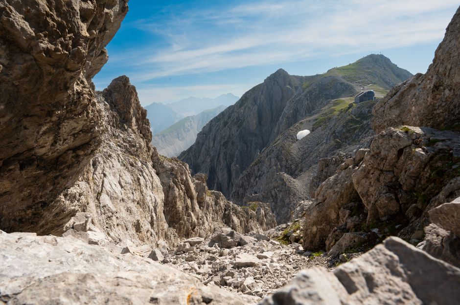
The most common failure is not a dramatic climbing accident. It is a chain of small decisions: a late start, no lunch because the hut was assumed to be open, wet shoes, a missed turn, and a group that keeps going because the destination is close on the map.
Which mistakes deserve an immediate correction?
- Assuming every hut is open every day. Opening dates can change with weather, staffing, renovation, or supply problems.
- Using a valley temperature as the clothing plan. Temperatures, wind, and rain can be very different at 2,000 metres.
- Choosing a route by distance alone. Elevation gain and technical ground determine the real workload.
- Walking beside grazing cattle or between cows and calves. Give animals space, keep dogs controlled, and leave the route if animals block it.
- Relying on a mobile phone with no offline map or battery reserve.
When should you turn back?
Turn around when the group misses the agreed time, when visibility removes route markers, when footing becomes unsafe, or when a member shows signs of exhaustion, cold stress, or altitude trouble. A booked bed is not a reason to continue into a deteriorating forecast. The best plan includes a lower route, a bus stop, or a valley meal that still makes the day successful.
What does a sensible seven-day Tyrol plan look like?
A good week alternates effort and recovery. It does not place the hardest hut approach on the first morning or schedule a high ridge immediately after a long transfer. The following pattern gives the group room to change plans without losing the trip’s main purpose.
| Day | Plan | Decision point |
|---|---|---|
| 1 | Valley meadow walk and equipment check | Confirm pace, footwear, and forecast habits |
| 2 | Moderate hut route below the highest terrain | Turn back if storms build before lunch |
| 3 | Rest, village visit, or short lift-assisted walk | Use the day to dry gear and check trail reports |
| 4 | Longer lake-and-hut route such as the Coburger Hütte approach | Start early and keep the descent time fixed |
| 5 | Overnight at a confirmed hut or a lower alternative | Call the hut before leaving the valley |
| 6 | Flowering meadow circuit or panoramic lower trail | Choose scenery over summit height |
| 7 | Short final walk near transport | Keep a generous airport or train buffer |
The strongest itinerary principle
Build around two anchor hikes and keep the other days flexible. That structure protects the trip from one storm, one closed hut, or one tired participant. It also gives you time to enjoy the alpine meadows instead of treating every hour as a race between map points.
The single most important takeaway
For Tyrol hiking in July, choose a marked meadow-to-hut route, verify the hut and weather on the day, start early, and keep a lower route ready when conditions change.