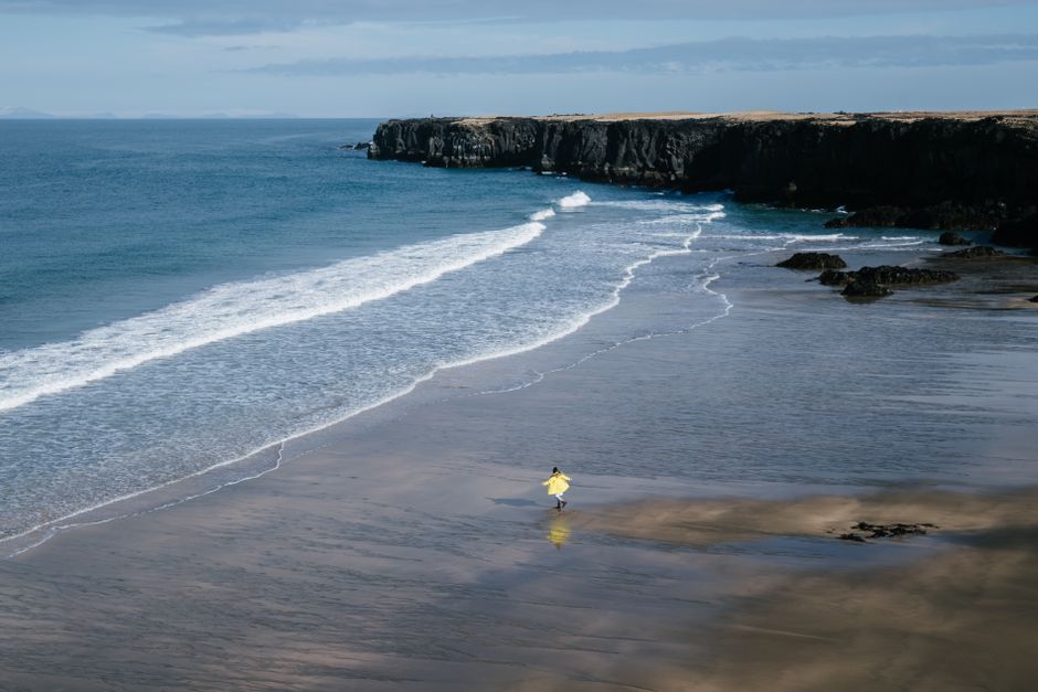
You arrive in St Davids with a waterproof jacket, a full phone battery and no clear idea how far you can walk before dinner. The cliffs look close on the map, but every headland adds another climb, the wind is stronger than the forecast suggests and the next bus may not come for two hours.
Early summer is one of the best times to walk the Pembrokeshire Coast Path, but it rewards careful planning. This guide gives you a realistic pace, a tide-aware itinerary, a packing system and clear advice on which sections suit a first trip.
How to split the 186-mile trail into a sensible itinerary
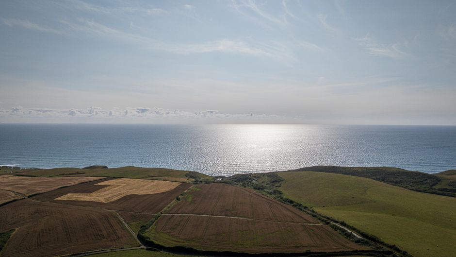
Use your walking pace, not the number on the map
The National Park’s official guidebook recommends about 12 days at roughly 15 miles per day for the complete route. That is a demanding schedule for consecutive coastal days. A slower trip gives you time to stop at beaches, wait out rain, inspect wildlife and recover from steep descents.
| Trip style | Days | Daily distance | Best for | Verdict |
|---|---|---|---|---|
| Fast full traverse | 10 | About 18.6 miles | Experienced walkers with light packs | Too aggressive for most first trips |
| Official-style traverse | 12 | About 15.5 miles | Fit walkers using luggage transfers | Possible, but allow no lazy days |
| Comfortable full traverse | 14 to 16 | About 11.6 to 13.3 miles | Walkers who want meals and viewpoints | Best balance for a first long walk |
| First-time sampler | 4 to 6 | About 8 to 12 miles | Visitors based around St Davids | Best introduction to the coast |
My clear recommendation for a first visit
Choose a four- to six-day sampler around St Davids, Solva and Porthgain instead of forcing the entire trail into one week. The official route map and section pages on the Pembrokeshire Coast Path website show access points, distances and current diversions. Use those details to build three short days, one longer day and one weather buffer.
A buffer day is not wasted time. It protects the trip when a bus is late, a storm closes an exposed section or your feet need rest. If you want the full 186 miles, book 14 to 16 walking days and add at least one non-walking day in the middle.
How to plan tides, buses and accommodation day by day
Start with the tide table
Do not assume every beach crossing is optional. The sections between Dale and Milford Haven include the Gann and Sandy Haven crossings, which can only be crossed safely for roughly two and a half hours on either side of low tide. The high-tide alternatives add about four miles and include road walking. Plan to reach the first crossing around three hours before low tide so you have enough time for both.
Some beaches look easy to cross when you stand above them. That view can change quickly once the tide turns. Never scramble down an unstable escape path to save distance. If the timing is wrong, wait or take the signed alternative.
Build each day in this order
- Fix the finish first. Choose accommodation with a confirmed check-in time, then work backward to the day’s starting point.
- Check transport. Compare the seasonal bus timetable with the National Park’s current route information. Summer services are useful, but some run only on selected days or at limited times.
- Book single-night stays early. Coastal accommodation fills quickly in high season, especially in small villages. Ask about packed lunches, drying space and luggage storage before paying.
- Add a food stop. Carry enough food for the longest section without a shop, plus an emergency snack. A café may be closed even when the map shows one nearby.
- Leave an exit route. Save the nearest road, village or bus stop for each day. Tell someone your planned finish and update them if the weather changes.
The strongest plan is flexible at the edges but firm around tides, transport and accommodation. Those three constraints decide your day more than a scenic viewpoint does.
What to pack for a wet, windy coastal week

Buy footwear for grip, not appearance
My top gear recommendation is a waterproof mid boot with a firm, grippy sole. The Salomon X Ultra 4 Mid GTX is a practical example at about £150, with a Gore-Tex waterproof membrane and a sole designed for mixed trail surfaces. It suits most maintained sections better than soft running shoes. Break it in before the trip and wear the same socks you plan to use on the coast.
Do not buy a heavy mountain boot simply because the word coastal appears on the itinerary. A stiff, two-kilogram pair can make every descent tiring. For dry-weather day walks, trail shoes may feel better, but they leave your feet more exposed to wet grass, mud and shallow stream crossings.
Keep the pack below a useful limit
The Osprey Exos 48 weighs about 1.29 kilograms and gives enough capacity for a multi-day trip without encouraging you to carry unnecessary clothing. For a supported walk with luggage transfers, use a smaller 20- to 30-litre daypack instead. The goal is not to own the largest pack. The goal is to keep the weight close to 8 to 10 kilograms before water.
Pack two walking tops, one warm layer, one waterproof jacket, waterproof over-trousers, a spare sock pair, a small first-aid kit, sun cream, a head torch and a dry bag for electronics. Add a lightweight sit mat if you plan to stop on damp grass. Carry at least one litre of water, then increase that amount on remote sections or warm days.
Use navigation and emergency equipment intelligently
OS Maps Premium costs £34.99 for an annual subscription or £6.99 monthly at the listed 2026 price. Download the relevant maps before leaving signal, plot each day and keep a paper map as a backup. The app is useful, but a phone with 12 percent battery is not a navigation plan.
A Garmin inReach Mini 2 weighs about 100 grams and can offer satellite messaging and tracking where mobile coverage is weak. It is a serious safety tool rather than a casual gadget, so learn the subscription and emergency functions before the walk. For a popular, well-served day section, a fully charged phone, offline map and clear route card may be enough. For remote multi-day walking, the inReach is the stronger choice.
Early-summer Pembrokeshire Coast Path questions answered
Is June better than July?
June is usually the better month for walkers who want longer daylight and fewer peak-season crowds. July can offer warmer afternoons, but accommodation and transport are busier. Early summer flowers may be at their best in late spring, while seabird activity remains a major attraction into summer.
Can a beginner walk the whole path?
Yes, but not on a rushed schedule. Train with back-to-back walks of 10 to 13 miles, including hills, before starting. Arrange luggage transfers if possible and book rest days. Beginners should avoid making the toughest northern section the first day. Start with a short section, check how your feet and hips respond, then increase distance.
Do I need a car?
No, but transport planning matters. St Davids, Fishguard, Tenby, Pembroke and other larger settlements give you more arrival and departure options. Rural bus services can be seasonal, infrequent or limited on Sundays. A car makes point-to-point walking simpler, but it can create a return problem when the finish is many miles from the start. A base-and-bus plan is often easier for a short holiday.
For a first trip, my verdict is clear: base yourself in or near St Davids, walk west and north in day sections, and keep one day free for weather. You will see more and worry less than on an overpacked through-hike.
Mistakes that turn a good coast walk into a bad one
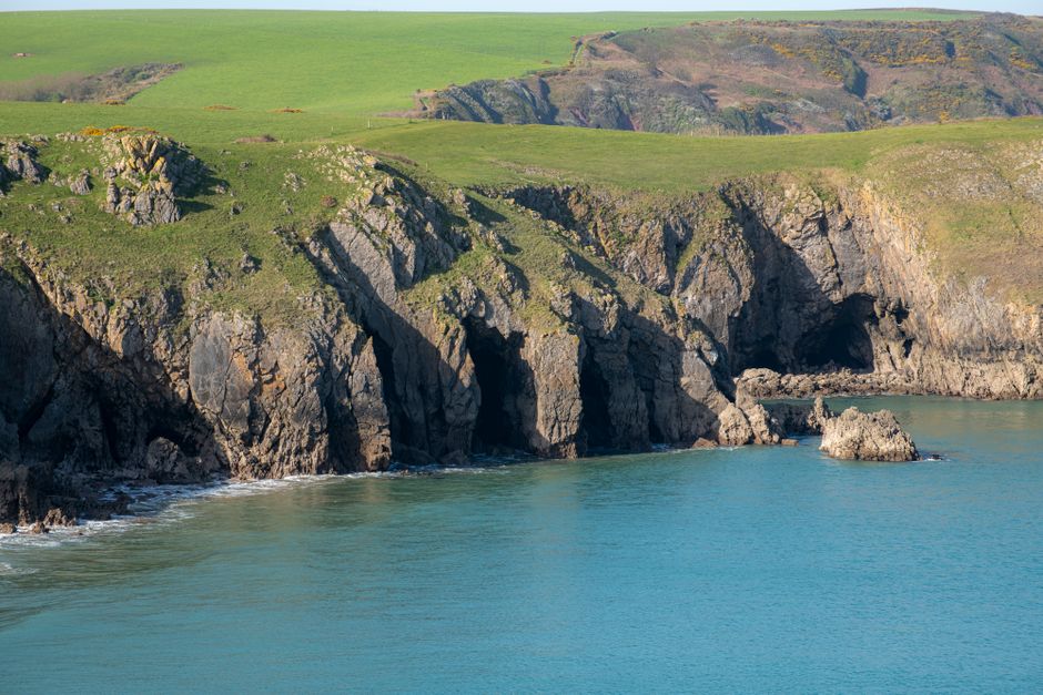
Five problems to prevent before setting out
- Overestimating distance: Headlands add time, and steep steps slow the final miles. Leave an hour of daylight in reserve.
- Ignoring the wind: A sunny forecast can still mean uncomfortable exposed cliffs. Carry a windproof layer even on warm days.
- Trusting phone signal: Download maps and accommodation details before leaving town. Save emergency contacts offline.
- Following the beach at high tide: Stay on the signed path and use official alternatives. A shortcut can leave you trapped between cliffs and rising water.
- Booking every night with no flexibility: A fixed schedule turns one cancelled bus or storm into a costly problem. Add a spare night or choose accommodation with a clear cancellation policy.
- Walking in new boots: Blisters become serious when the next village is several miles away. Test footwear on hilly walks before travelling.
What to do when conditions deteriorate
Turn around before the path becomes dangerous, not after. Move inland or stop at the nearest safe access point if visibility drops, wind makes balance difficult or heavy rain turns the ground slippery. Tell your accommodation and travel partner about the change. The coast will still be there tomorrow, while a rushed decision near a cliff edge can end the holiday immediately.
Early summer works best when you treat the Pembrokeshire Coast Path as rugged coastal terrain with beautiful views, not as a simple line between two towns.
The single most important takeaway is to plan every walking day around tide times, transport and a realistic distance before you plan the scenery.